
Hiking Mount Oeta (Oiti) is one of the most rewarding mountain routes I’ve done in Greece — and I’m Greek.
Last May, a group of friends and I set out to explore this lesser-known national park, and what we found blew us away: wild alpine meadows, ancient myths, zero crowds, and dramatic views around every turn.

While most hikers head to Olympus or Parnassus, Oeta quietly offers some of the best off-the-radar trails in the country.
This is where Heracles met his end, and where nature still feels untouched. If you’re looking for real mountain terrain, history underfoot, and a route that feels both remote and alive — this is it.
This post includes links that may be affiliate links. If you choose to purchase them, I may earn a small commission at no extra cost to you. Please see my disclaimer/privacy policy for more information.
Hiking Mount Oeta (Oiti): From Pyra to Pavliani
We hiked from the legendary village of Pyra to Heracles’ ancient temple, to stunning valleys, flowing waters, and sinkholes (katavothres), ending in the artistic mountain village of Pavliani.
Hiking Oeta | Trail Breakdown

- Time: May 2025
- Distance: 14.7 km (9.1 miles)
- Duration: 5 h 37 min
- Minimum Elevation: 925 m (3,035 ft)
- Maximum Elevation: 1,580 m (5,184 ft)
- Total Ascent: 592 m (1,942 ft)
- Total Descent: 827 m (2,713 ft)
- Difficulty: Medium (3/5)
About Oiti Mountain

Oeta National Park is one of the oldest National Parks in Greece, established in 1966. It spans the mainland regions of Fokida and Fthiotida, with its highest peak, Pyrgos, reaching 2,151 meters (7,057 feet). The mountain stretches 20 km east to west and 18 km north to south.
It’s rich in water, fed by three main rivers and countless smaller streams, and is home to 22 villages scattered across its slopes — each with its own charm and character.
From Pyra: Into the Forest
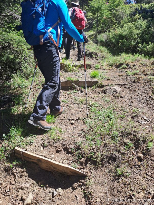
We arrived by coach and got dropped off at a small parking area, right where the trail begins, just outside Pyra, a quiet mountain village tucked against the edge of the fir forest.

After a short climb up some rough stone steps, you’re immediately in the trees — tall firs, filtered light, and a soft trail underfoot.
The forest here is thick and peaceful, and the first part of the hike is mostly uphill. I stopped quite a few times to catch my breath as I hadn’t hiked uphill for a long time.
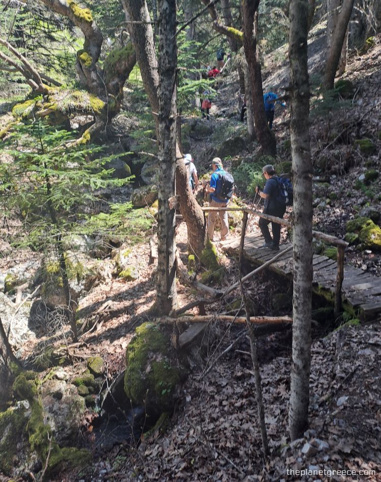
There are a few wooden steps and narrow crossings early on, but nothing too technical.
A couple of the footbridges are basic — hand-hewn logs and branches — but they do the job. The trail is marked and mostly easy to follow. Around mid-morning, the light through the canopy gets beautiful.
Spring Water and Old Meadows

Further up, you’ll pass a natural spring — water trickles from a mossy pipe set into a tree root, with a carved wooden seat nearby. After that, the forest begins to open.
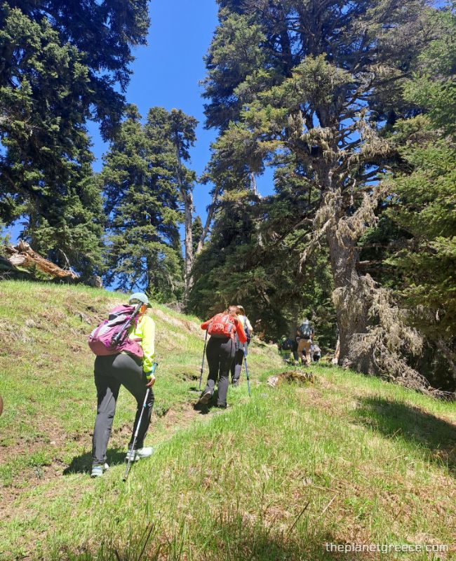
You’ll reach meadows with panoramic views across the Vardousia, Gkiona, and Parnassus mountains — snow still clinging to the ridges even in May. The trail levels out a bit, and it’s a good chance to recover before the next ascent.
Break at the Temple of Heracles
Before reaching Katavothres, the trail brings you to a wide open plateau where we stopped for a long break.
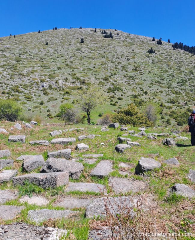
According to legend, this is the spot where Heracles lay down to die, consumed by the poisoned shirt given to him by Deianeira, his wife. In agony, he built his own funeral pyre and set himself on fire.
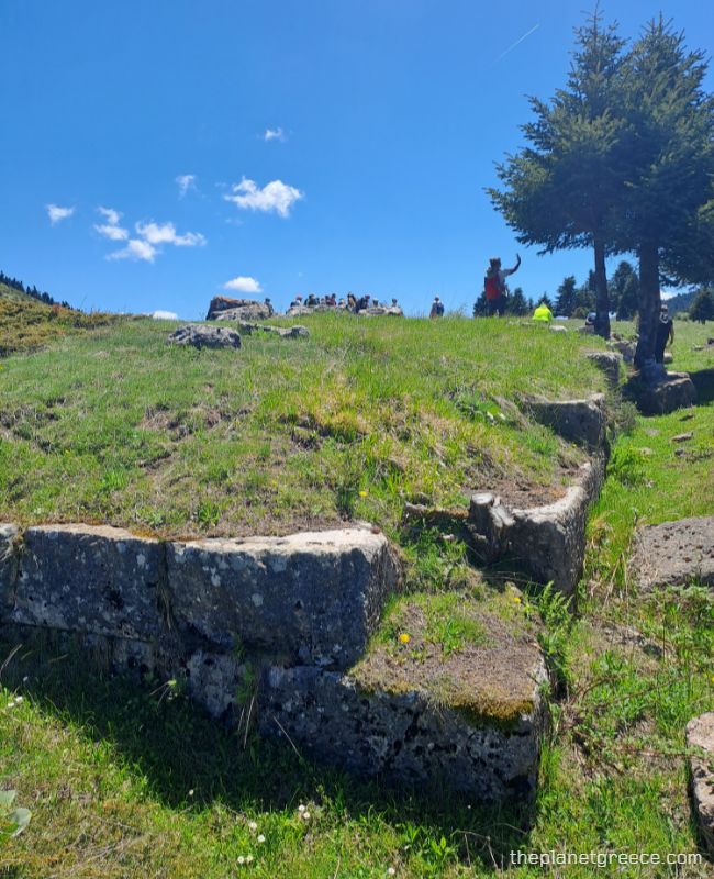
But this wasn’t the end — it was his transformation. Zeus struck the flames with lightning, and Heracles was taken to Olympus to become immortal.
This act — the apotheosis of Heracles — gives the area both historical weight and mythological meaning.
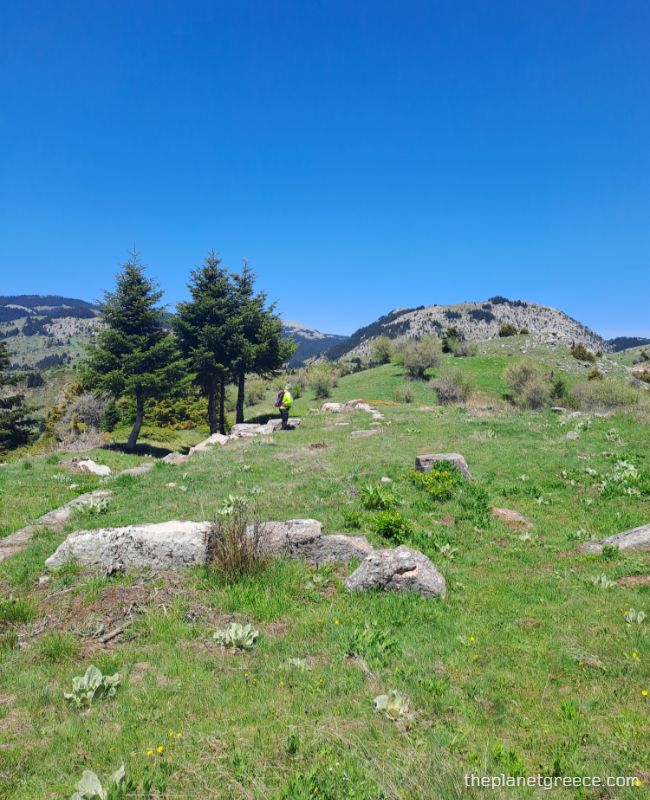
What remains are scattered ruins of the ancient Doric temple dedicated to him. You’ll see large carved stones among the grass.

There’s also a hand-carved sign in Greek: “Ιερό του Ηρακλή – Η Αποθέωση του Ήρωα” (Temple of Heracles – The Hero’s Apotheosis).
It’s a calm, grassy place with clear views in every direction — perfect for resting, having lunch, and taking in the history and scenery at once.
From the Temple of Heracles to Katavothres

After resting, we continued east, along a broad dirt road that cuts gently across rolling green meadows.

I really loved this alpine road; it was flat, more open, with wide skies, and allowed me to admire the stunning views around me.

There’s a small sign pointing right toward Pavliani — a shortcut for those who don’t want to complete the full trail.
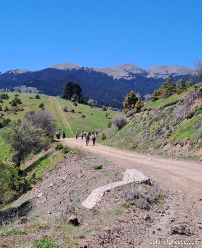
We turned left instead, heading toward Katavothres.

You’ll pass a small white roadside shrine on your left and soon after, the route curves along the base of a limestone outcrop and leads toward a large meadow marked by pools and wetlands.
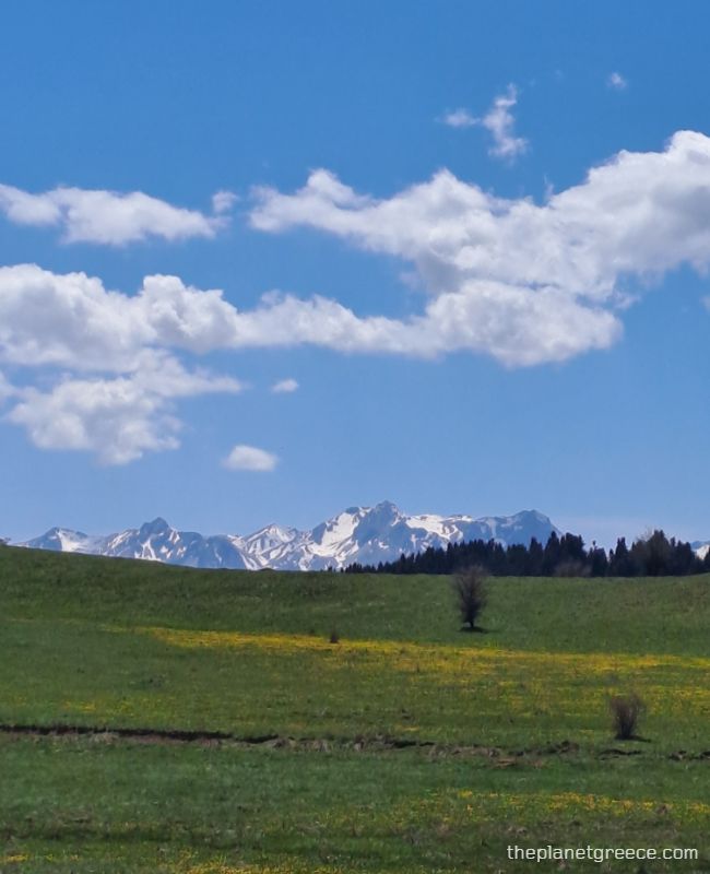
The ground here can be soft after rainfall, so expect some marshy spots and seasonal water buildup. On a clear day, wildflowers cover the plains — a field of yellow and green set against the stark white of the peaks.

As you approach Katavothres, the trail narrows slightly and leads toward a rocky cliff face, tucked into the base of the slope. This is where the landscape starts to feel wilder again.
Katavothres Sinkholes
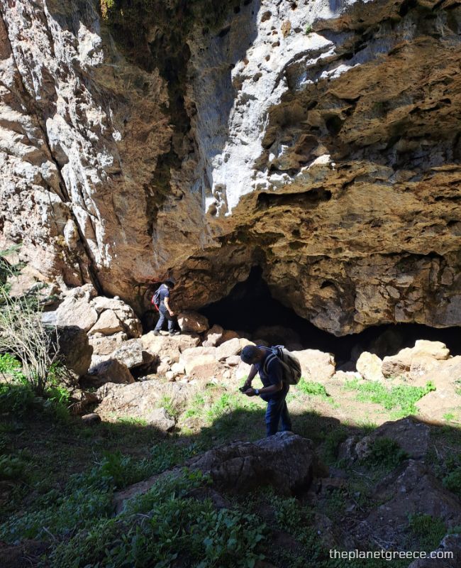
Katavothres is not a single spot, but an area where water from the mountains disappears into the ground — through limestone sinkholes carved by millennia of rain and snowmelt.
These natural funnels are part of the mountain’s hydrological system, and they’re surprisingly hard to spot until you’re right next to them.
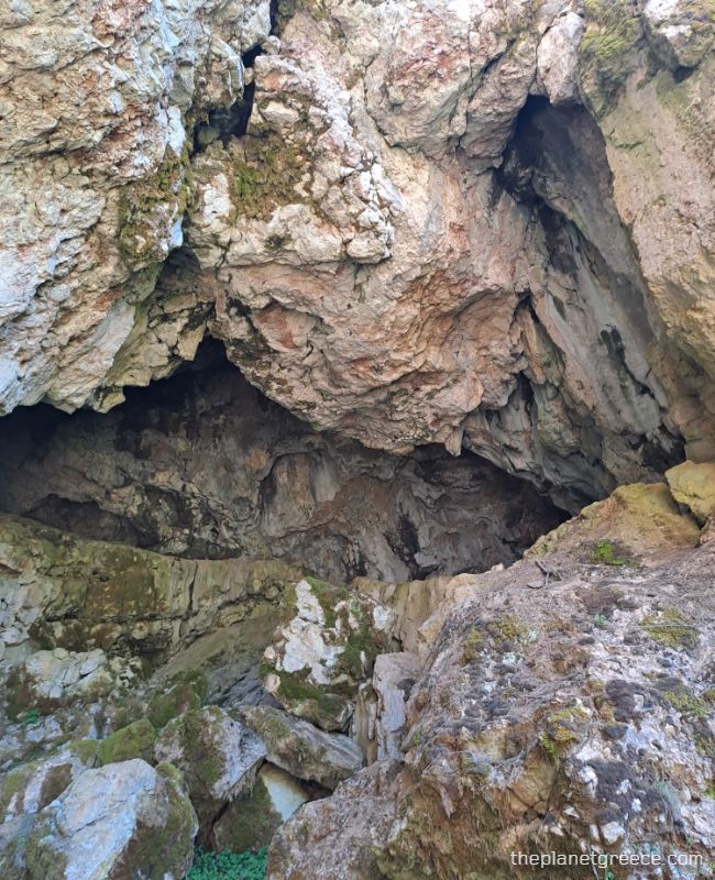
You’ll see limestone caves and hollowed cliffs, some large enough to climb into.
From here, the trail rises gently and continues toward the treeline again, heading in the direction of Pavliani. The environment shifts once more — from exposed slopes back into pine and fir forest.
From Katavothres to Pavliani

Leaving the wide meadows and the geological mystery of Katavothres behind, the trail narrows and curves gently uphill. The main route bends into alpine grassland, dotted with low pines, wildflowers, and open skies.

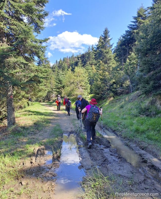
Eventually, the path took us into the shade of a thick fir forest where the very long downhill started. The trail turned muddy, carved by recent rain and tire tracks.
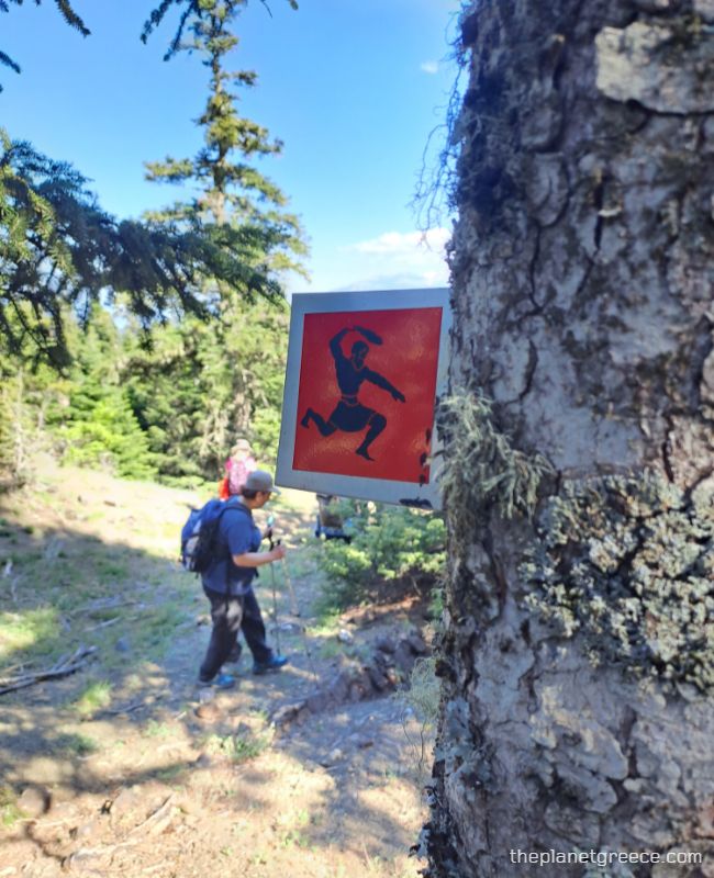
Further down, a red trail marker reminded us of our route — the silhouette of Heracles mid-stride guiding us toward Pavliani.
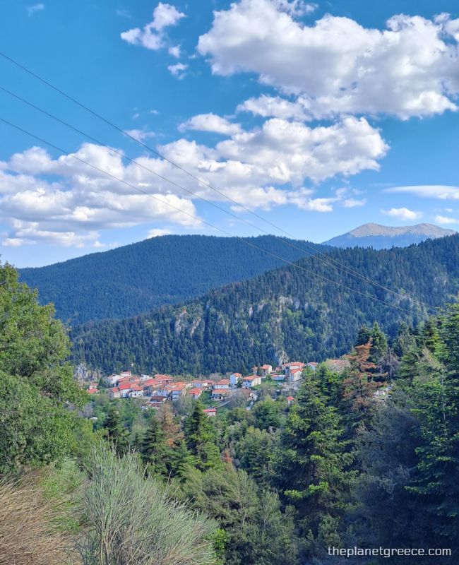
As the descent continued, gaps in the forest revealed views of the valley below — and soon, the red-tiled roofs of Pavliani appeared, thankfully because I was quite exhausted by then.
Why Pavliani is Worth the Finish
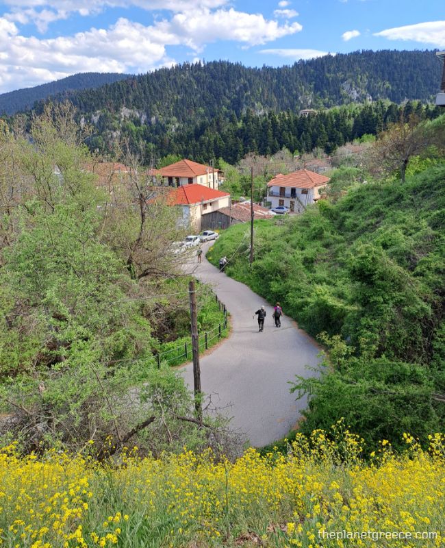
Arriving in Pavliani feels like landing in a mountain hideout with a twist of creativity.
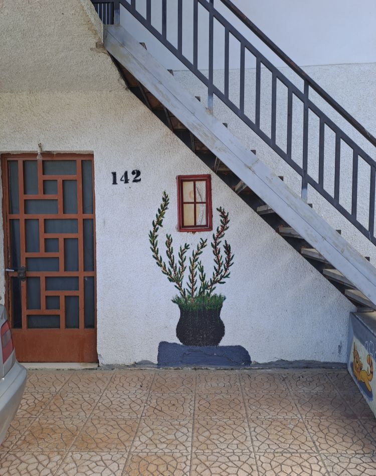
It’s not just the stone houses and fresh air — it’s the playful touches: piano bridges, quirky signs and art installations tucked into each of the houses and corners of the village.
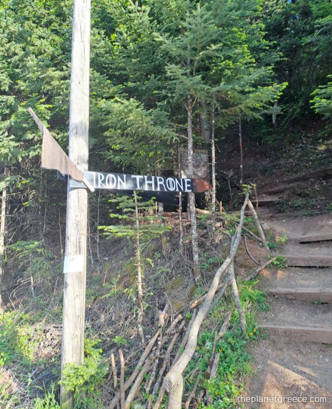
From here, you can explore the Rakia Park with its riverside trails and wooden installations or follow the signed path to the “Iron Throne” peak for panoramic views and a cheeky photo op.
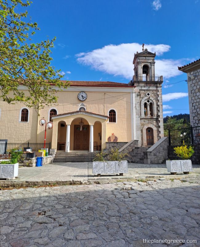
The main square is peaceful, the cafés welcoming, and the streets quiet but full of charm. After hours of hiking, it’s the kind of place where you want to sit back, rest your legs, and feel like you’ve truly arrived.

Do not forget to cross the amazing bridge painted like a piano over the river crossing Pavliani!
Things to know before hiking Mount Oeta – FAQs

Where to Stay
Your best – and most convenient – basecamp is Pavliani. It splits into two parts—Ano (upper) and Kato (lower) Pavliani—and offers guesthouses, tavernas, and the friendliest locals in Central Greece.
My favorite places in Pavliani are Pavliani House, Katafygio-oiti, and Pavliani4rest – Luxury Cabins.
From here, trailheads are easily accessible by foot or a short drive.
What kind of wildlife can you see at Oiti?
There are around 60 species of mammals on Oiti, including wolves, deer, wild boars, foxes, martens, wildcats, and otters. The mountain is also home to 17 species of reptiles, such as turtles, lizards, and snakes — including vipers and rat snakes.
You might be lucky and see some of the large eagles that live here as well!
How to get to Mount Oeta from Athens?
We traveled by coach via the National Road to Thermopylae, taking the southern exit toward Kato Damasta. After passing Skamnos village, we turned right toward Pavliani, with our final stop at Pyra — a quiet mountain village where the trail begins.
You can reach the area by either private car (highly recommended), by train to Lamia and take the bus to Pyra, or by coach, as we did.
What gear should I bring?
I used hiking sticks, and I wore my old hiking shoes. Also, try to wear shoes with a really good grip—the rocky paths can be slippery, especially on the way down.

When is the best time to hike this trail?
In winter, the trail is usually covered in snow, and after rain, things can get seriously muddy and slippery.
The best times to hike are April to May and September to November — the weather’s more stable, and the landscape is stunning.
If you’re thinking of hiking in winter, just be ready for anything. Snow, ice, and sudden weather shifts are all part of the deal, so make sure you’ve got the right gear and some winter hiking experience.
What other trails can you hike in the area?
1. Kremastos Waterfall Trail (Pavliani Loop)
Distance: ~6 km loop
Duration: 2–3 hours
This moderate loop starts at Pavliani Park — a creative little forest playground filled with wooden swings, treehouses, and quirky signs straight out of a myth. You’ll follow paths through thick fir trees, cross some fun (and wobbly) wooden bridges, and eventually reach Kremastos Waterfall — an 80-meter drop into a cool, shaded gorge.
It’s one of the most scenic and easygoing hikes in Central Greece. Lush, fun to explore, and great for a half-day outing — whether you’re with friends, kids, or just want a change of pace.
2. Gorgopotamos Gorge Trail
Distance: ~9 km round trip
Duration: 4–5 hours
Start/End: Village of Gorgopotamos
Named after the river that cuts through the gorge, this trail is more than just scenic—it’s historic. During WWII, partisans blew up the Gorgopotamos Bridge here, in a mission that changed the tide of the Greek resistance.
Follow the trail along old railway lines, cross suspended footbridges, and pass waterfalls and rock pools. For those curious about where to hike near Lamia, this one is a local favorite—and easier than the alpine routes up top.
Local Tips
- Map it out. Trails are often marked, but signage can be inconsistent. Use GPS apps like Gaia GPS or Komoot.
- Pack layers. Weather shifts fast on Mount Oeta, especially between the end of November to March.
- Respect the terrain. This is a national park and a protected biosphere. Stay on trails and don’t pick the flowers.
- Fuel up. Try local delicacies like fasolada (bean stew) and goat cheese at village taverns post-hike.
Mount Oeta vs. Other Greek Hiking Spots

Most hikers flock to Olympus or the Vikos Gorge, but here’s why hiking Mount Oeta should top your list:
| Feature | Mount Oeta | Mount Olympus | Vikos Gorge |
|---|---|---|---|
| Crowds | Low | High | Moderate |
| Myth Factor | Heracles’ last stand | Home of the gods | Ancient oracle nearby |
| Trail Variety | Forests, alpine meadows, waterfalls | Forests, alpine meadows, waterfalls, and alpine peaks | Gorge & river hikes |
| Accessibility | Near Lamia & Thermopylae | Near Litochoro | Near Ioannina |
| Vibe | Raw and wild | Epic and iconic | Deep and scenic |
Final Word: Why Mount Oeta Deserves Your Boots
Mount Oeta isn’t just another mountain — it’s a place where myth, history, and wild beauty all come together. It’s quiet, a little remote, and way less crowded than the usual spots — which makes it one of the best hidden hiking areas in Greece.
Join Our FB Group & Subscribe to My YouTube Channel!
For more travel to Greece tips and beautiful destinations in the Greek islands, please join my FREE Facebook Group or SUBSCRIBE to my YouTube & TikTok channels for amazing videos of Greece! Until then, happy and safe travels, Evgenia.
Essential Greece Traveling Tips
- ‘Hello’ and ‘Thank You’ in Greek: “Ya sou” and “Efharisto”
- Emergency Numbers Anywhere in Greece: AMBULANCE 166 – FIRE 199 – POLICE 100– EMERGENCY NUMBER 112
- Athens Metro Website (timetables and ticket info)
- Trains (Hellenic Train)
- Public Buses KTEL
- Booking.com: I use Booking.com because I can get the best deals on hotels and apartments, free cancellations, and great prices!
- FerryScanner to book ferries to the Greek Islands
- Rent an Affordable Car in Greece
- Get Your Guide: For all your day or multi-day tours and city guide needs, I use Get Your Guide
