
Menalon Trail 5 is one of the easiest trails of the beautiful Arkadian Mountain of Menalon in the Peloponnese, hardly 6 km in length.
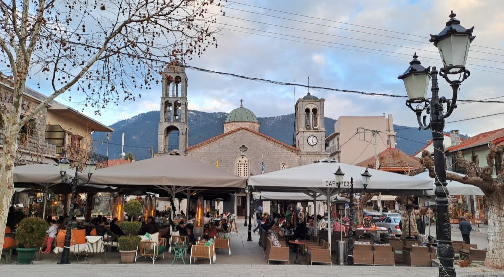
It starts in Vytina, a popular traditional village sitting on the slopes of Menalon at a high altitude of 1,033 meters, and ends at the Nymfasia, a small settlement built at 880 m.
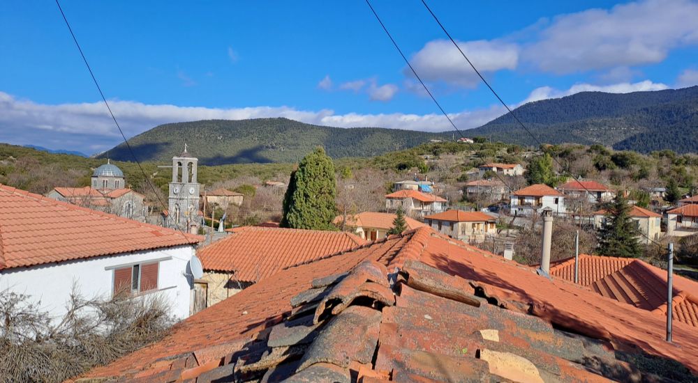
The picturesque trail from Vytina descends to a gorge and a stone bridge and then ascends to Nymfasia. It is not a trail suitable for small children or for completely new hikers.
This post includes links that may be affiliate links. If you choose to purchase them, I may earn a small commission at no extra cost to you. Please see my disclaimer/privacy policy for more information.
My Latest Menalon Trail Video
Why Hike the Menalon Trail?
Most hikers who visit Greece think that only the islands have beautiful landscapes, which is far from true.
In mainland Greece, you will find stunning landscapes that often combine cultural visits, mostly focusing on remote monasteries or the local life of the mountainous traditional villages you visit as you hike.
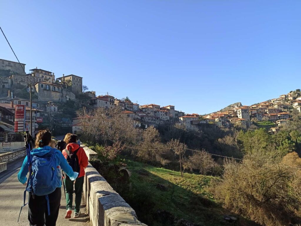
The Menalon Trail, totaling 75.2 km, winds predominantly through forests, gorges, and alongside rivers, and connects nine villages – Dimitsana, Stemnitsa, Lagkadia, Zygovisti, Elati, Vytina, Nymfasia, Magouliana, and Valtetsiniko.
You can choose which trails to do from the 8 official trails and combine them with staying and exploring some of the most beautiful mountain villages in Greece.
The accommodation in the villages is superb and affordable (a great example is the Agropoli Hotel in Nymfasia with an amazing breakfast and a fireplace in the rooms).
If you worry about your luggage, they can proceed by using the local taxis, check out the end of this post where I have a photo with all their numbers.
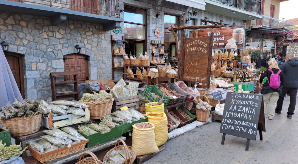
Finally, from old-looking small groceries, you can buy fresh walnuts, sweet chestnuts, dried herbs for tea, and local honey.

The Menalon trails are:
- Dimitsana – Stemnitsa – 12.5 km, 4/5
- Dimitsana – Zygovisti, 4.2 km, 2/5
- Zygovisti – Elati, 14.9 km, 4/5
- Elati – Vytina, 8.5 km, 3/5
- Vytina -Nymfasia, 5.6 km, 2/5
- Nymfasia – Magouliana, 8.9 km, 3/5
- Magouliana – Valtetsiniko, 6.6 km, 2/5
- Valtetsiniko – Lagkadia, 13.9, 2/5
Post Information

In this post, you’ll find information on how to get to Vytina, trail details, a short YouTube video, and a Google map.
You’ll also discover the best places to stay, historical insights, safety tips, and what to wear for hiking in Greece!
Technical information for Menalon Trail 5
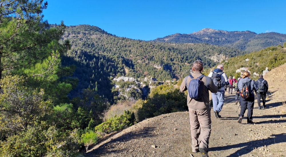
- Trail: Vytina to Nymfasia
- Distance: 5.6 km
- Elevation: -310 / +110
- Moving Time: 2.5 h
- Level of Difficulty: Easy to moderate (2/5)
- Trail type: One-way, perfectly signposted with green signs
- Terrain: 850 meters in asphalt, all the rest is a forest trail
- Best time to hike: All year round. Some caution for the downhill parts starting in Vytina, as it can get frosty in winter. Perhaps it is too hot for you in summer.
- Participation Requirements: Not for families with young children. Not for new hikers.
Menalon Trail 5 Description

We arrived in Vytina around 9.30 am, after about a 2.5-hour drive from Athens in mid-January. We took our gear from the coach, changed into our hiking boots, and set off toward the start of the trail.
As we were walking, from the corner of my eye, I spotted, on Vytina’s main square, a Folklore Museum which I wanted to visit later on.
Our hiking plan for the day was that our coach would drop us off at Vytina, drive to Nymfasia, which is 10 minutes away by car, and wait for us until we finish our hike.
In Nymfasia, we would have lunch, get on the bus, and be back to much livelier Vytina for a stroll, hot chocolate in the cafes, and discover the back streets of this traditional settlement.

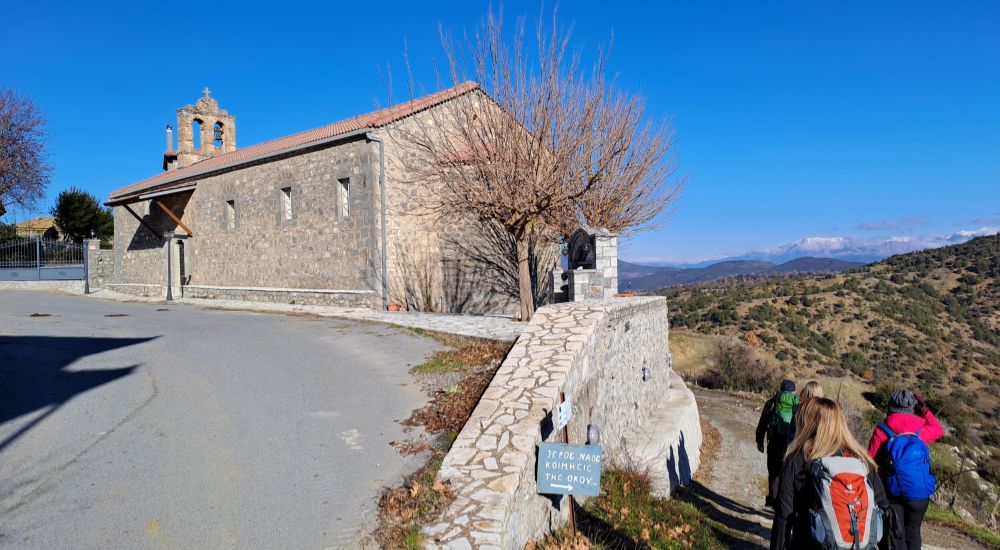
From Vytina, and for the first 850 meters we walked on asphalt but as soon as we reached the church of Agioi Apostoloi, we went to the right of the church and got on the trail.
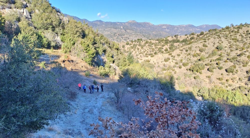
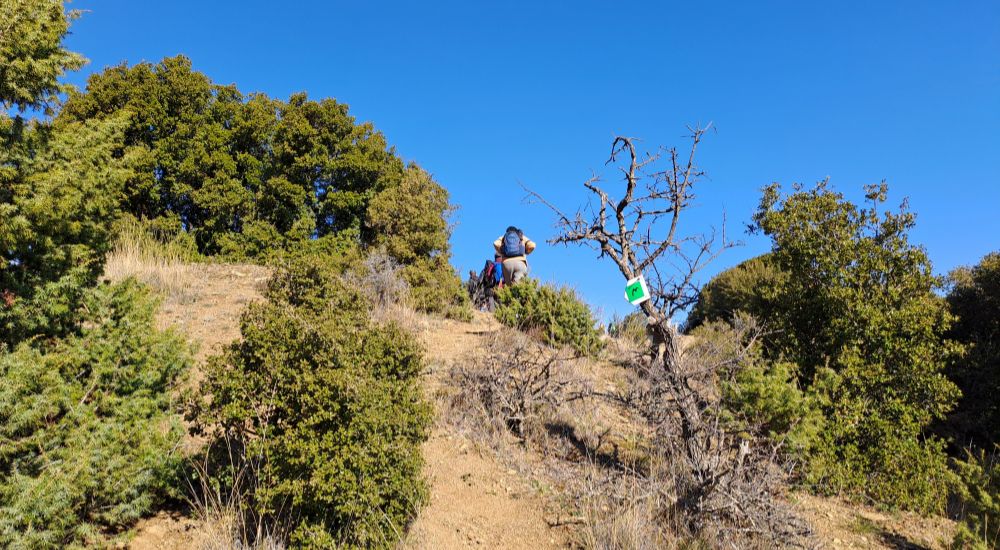
We started walking downhill, but thankfully, I had my hiking sticks as the ground was slippery due to frost. Soon, the terrain leveled and became quite easy to walk on.
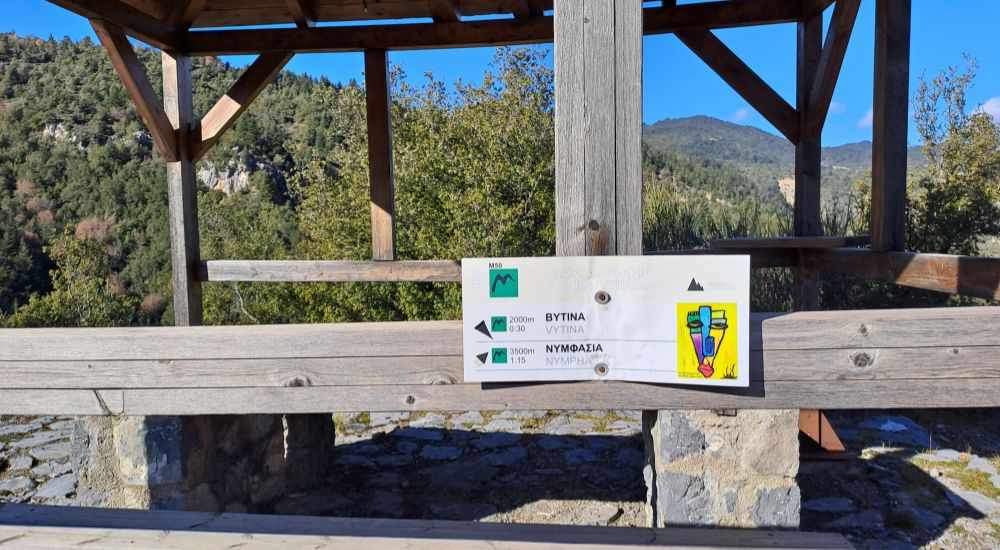
We started towards our first stopover, over Mylaontas Gorge at Mavra Litharia.

Mylaontas Gorge is set in a very beautiful environment and as soon as we got to the Mavra Litharia kiosk we could hear – but not see – the roar of the Mylaontas River.
From Mavra Litharia, you had a great view of the whole region.
We set off towards our next and slightly longer stop at the Tzavarenas Stone Bridge.
The terrain from Mavra Litharia was uphill but it was not a demanding climb.

The stone bridge of Tzavarenas connected the villages of Vytina with those of western Gortynia.
It is a single-arch bridge of great historical and architectural value built in 1868 on the site of an older bridge that had been washed away by the rushing waters of the Mylaontas River.
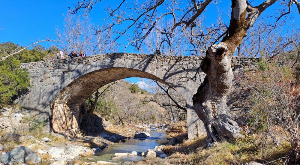
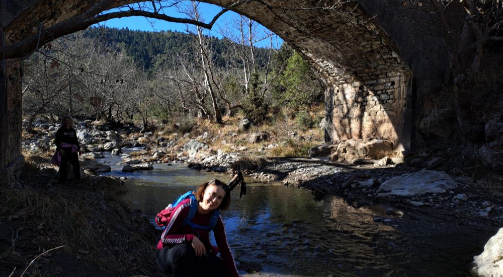
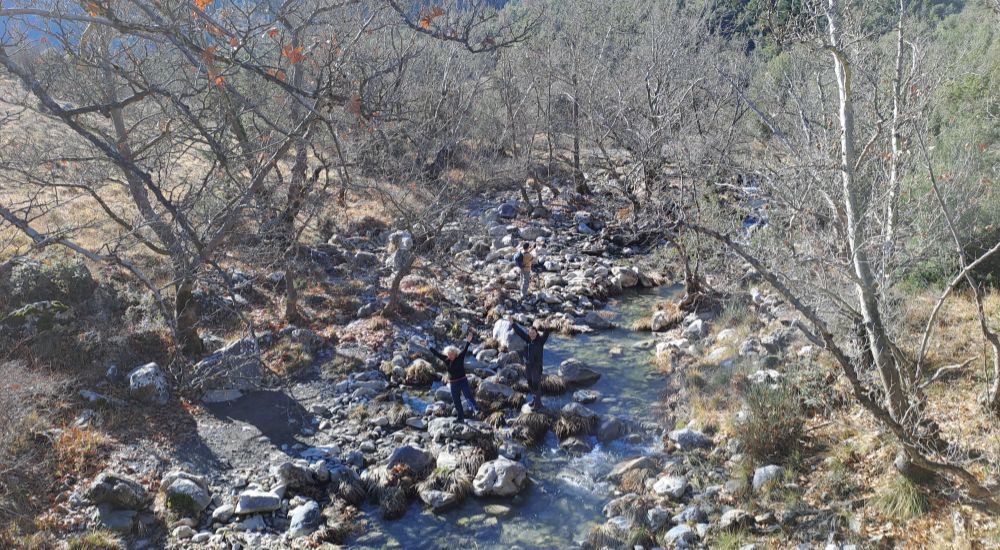
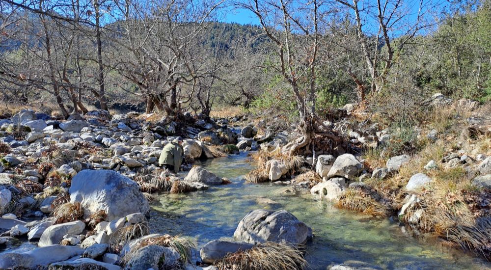
The water was crystal clear and the nature around the bridge looked wild and impressively beautiful.
We had a snack on the bridge and soon went back to the trail towards Nymfasia. And this is where the hardest part of this trail is, as there is some steep uphill.
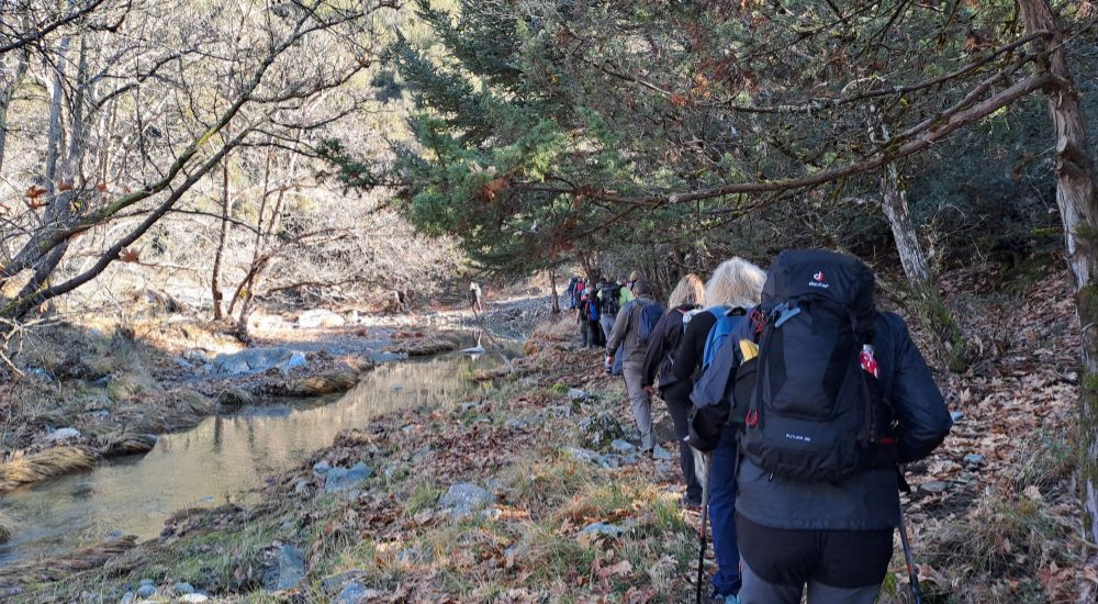
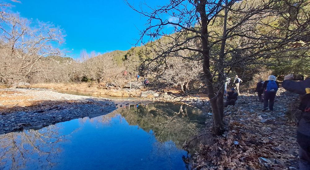
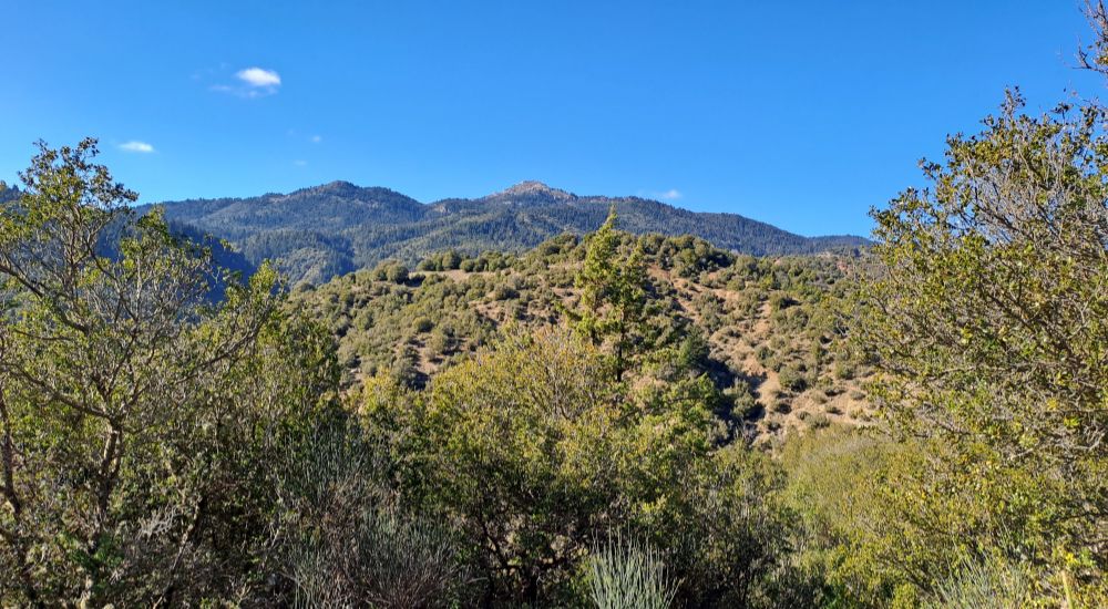
The trail to Nymfasia is a combination of tall grass bushes and fir forests, very scenic and aromatic to walk by and we ascended to 880 m where Nymfasia is built.


From a distance, I saw the monastery of Kernitsis but we didn’t have time to go, so we went straight to Nymfasia, which we reached a few minutes later.
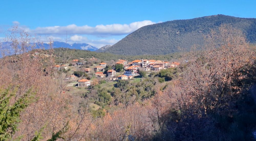
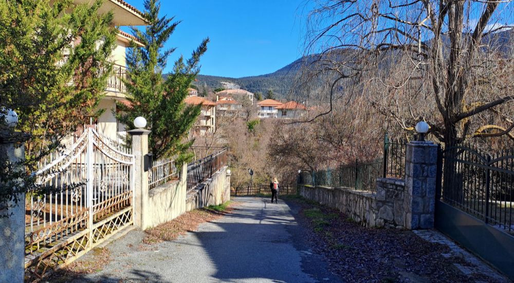
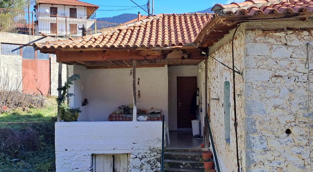
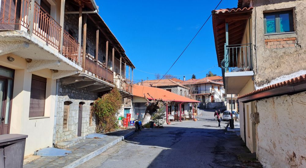
In Nymfasia, we had lunch in the single tavern of the village offering excellent local food, which I highly recommend!

The owners were very friendly and eager to reply to any of our questions which is always great when you are in a new place and you are not sure what to order.

It was three of us at the table and we ordered: 2 dishes of their local greens fried with feta, another kind of just boiled wild greens with olive oil and freshly squeezed lemon, a mushroom soup, a sausage, and some fries.
And lots of local sour bread, which I love! And a beer split into three glasses! 😀
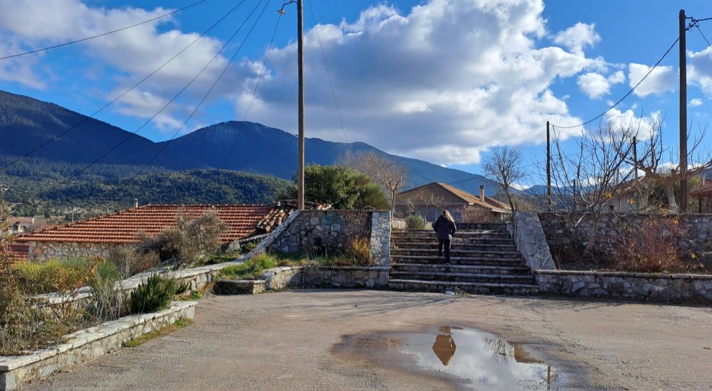
I explored Nymfasia and I really enjoyed the traditional and so untouched by time settlement.
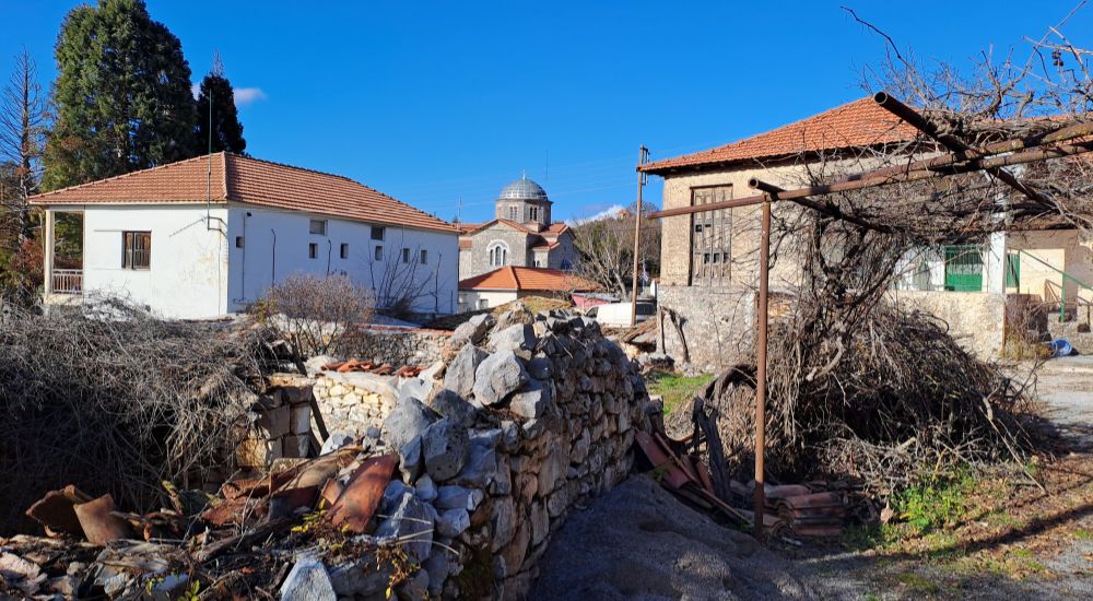
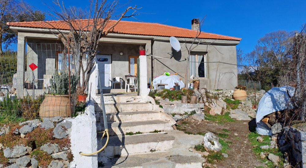
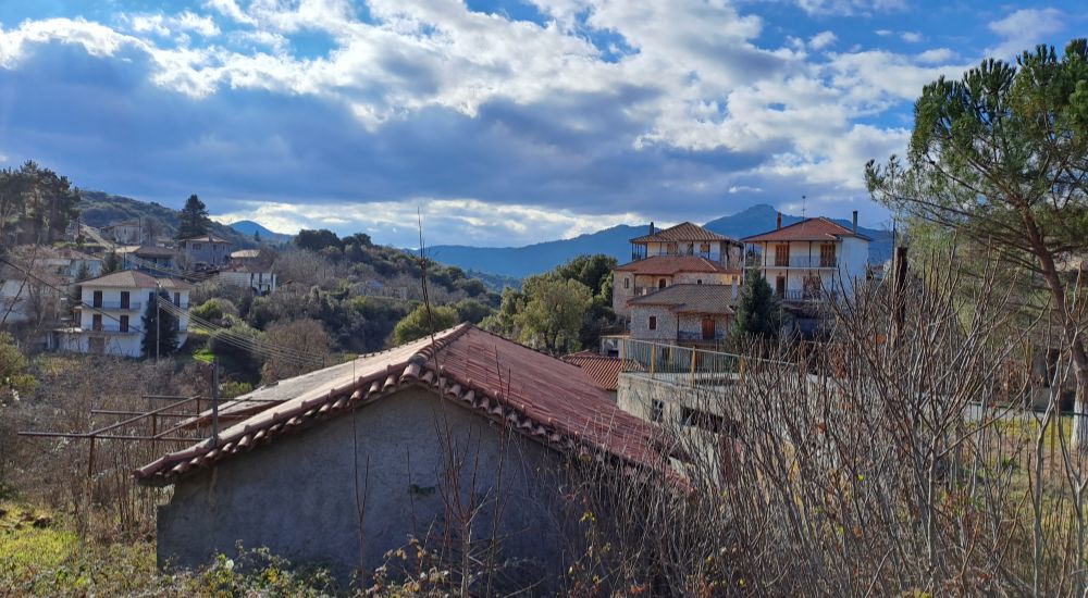
I look forward to visiting it again soon as I plan to hike another Menalon trail starting in Nymfasia to Magouliana.
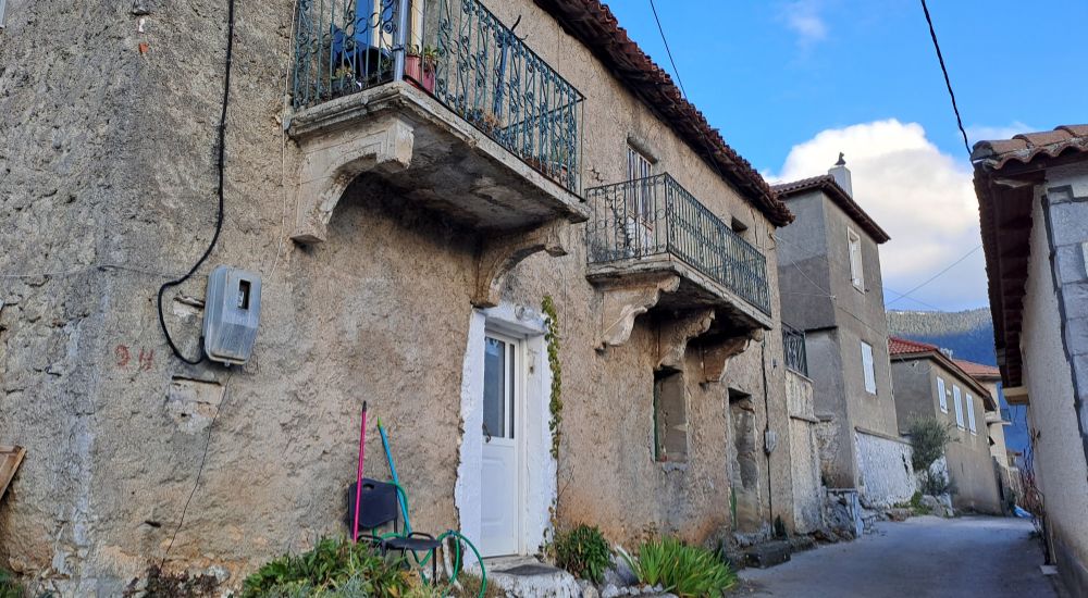
Soon we were on board to Vytina for a coffee, fresh honey & pasta shopping, and more exploration in the alleys of Vytina.

Finally, I went to the Folklore Museum, which was small but significant. Entrance is just €2 and you support their important cultural work!
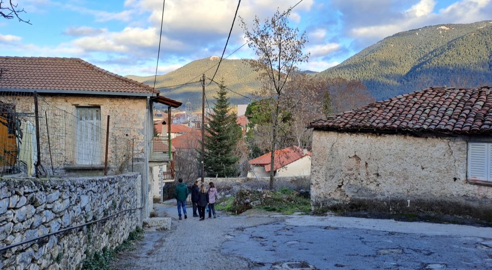

Where best place to stay to hike the Menalon Trail 5
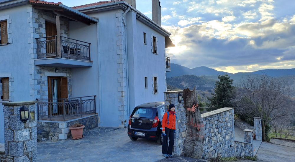
If you love really quiet and peaceful settlements, then I suggest you stay in Nymfasia at the superb Aiora Guesthouse (family-friendly, mid-range) overlooking Menalon Mountain.
If you prefer to stay at the much more lively Vytina, a fantastic resort is Guesthouse Panorama (family-friendly, budget) with great views of the town.
Both will have a fireplace and enough wood in the rooms to keep you warm and cozy.
FAQs for Menalon
When is the best time to hike the Menalon Trail 5?
In the Menalon Trail region, everything is open all year round.
In winter, the villages sparkle with Christmas decorations, and hiking may become more challenging with some rain, fog, and snow or may not, as we hiked in bright sunshine in January.
In spring, nature is glorious with numerous colorful wildflowers, buzzing bees, and butterflies everywhere.
Summer can be a bit more challenging as the temperature can be really high (35- 40 °C) and the Mylaontas River may not have enough water for you to dive.
In fall, the leaves turn into beautiful brown, red, and yellow colors and are just wonderful to hike.
How to Get to Menalon Trail 5 from Athens
Vytina village is 183 km away from Athens. You can take the public buses leaving daily from Kifisos KTEL station to Tripoli town. In Tripoli, you will have to change buses to Vytina.
Alternatively, you can rent a car, which is the easiest and most convenient solution for exploring an area. If you drive, on your way to Vytina and a bit before you reach it stop at Kapsia caves, a remarkable natural site!
If you don’t like driving, you can also Book a guided 7-Day hiking Menalon with hotels and transfers included.
What to Pack
These are some of the essential items I recommend you have with you if you are going to hike the Menalon Trail:
Hiking shoes/boots (worn-in) & moisture control socks
Hiking clothes (fast dry)
Mid-layer tops (eg, fleece)
Hat for warmth or shade
Waterproof jacket
Walking Sticks (essential)
Good sunglasses & sunscreen
Hiking backpack with good dry back protection
Personal bottle of water (2-3 lt), salty snacks such as dry nuts, fruit, a sandwich
Mobile Numbers of Taxis in Menalon Trail
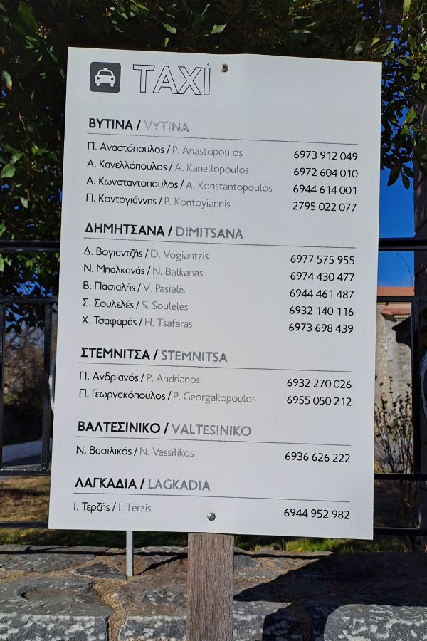
Use those local and very experienced taxi drivers to drive you around the villages as you hike the Menalon Trail.
Discuss with them in advance how much they will charge you. If you are happy with their services, you can leave them a tip.
Menalon Trail 5 Google Map
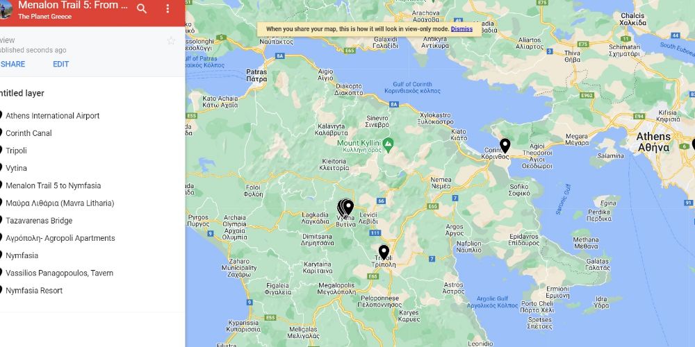
Find in the Menalon Google Map here the areas mentioned in this post!
Hiking Peloponnese & Greece
Peloponnese has some spectacular hiking trails, often combining nature and culture that alternate most charmingly. The most popular ones, besides the Menalon trail, are:
- Doxa Lake – Dourdouvana Summit, hard, circular, 13 km, 8-9 hours
- Kalavrita Chelmos and Vouraikos gorge
- The archaeological site of Mystras is easy, 4 km
- Vlachokerasia river trekking, 12.7 moderate inside a forest
- Voidokilia Beach Hike
- Menalon Trail 1, Dimitsana to Stemnitsa
- 7 Best Hikes in Greece
Did you hike on Menalon Trail 5? Let me know what you think about the Menalon Trail in the comments. I’d love to hear whether I managed to get it onto your bucket list! Till next time, Evgenia
